The Shasta Valley is one of the fast parts of the Siskiyou line, allowing 110 mph operation. Easing the sharp curves
at its southern end could transform this area to 79 or 90 mph territory, making the fast stretch more useful.
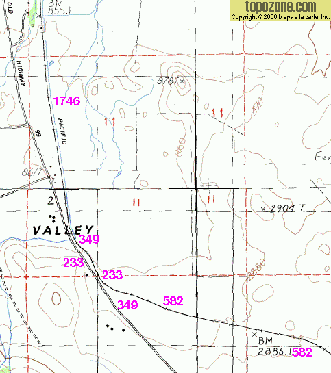
(Curve radius is put down in meters on this map.)
The underlying map is found on ![]() .
.
© Maps a la carte, Inc, used with permission.
The following link gives
an overview over
the southern part of the Shasta Valley. Navigation, magnification and resizing needs Javascript on that site.